The Seven Ranges & Fort Steuben: Mapping Ohio’s Early Frontier

About this Event
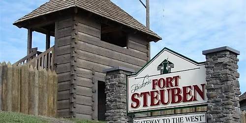
The program will begin with a presentation by Ann Besch, Senior Lecturer at The University of Akron, who will explore the history of the Seven Ranges and Fort Steuben and the role that surveying played in opening the Ohio Country to colonial settlement. Participants will learn how early surveyors mapped the land, established boundaries, and helped lay the groundwork for the communities that followed.
Following the presentation, participants will head outdoors for a hands-on surveying demonstration led by surveying expert Bob Akins and Fort Steuben staff. Using historical surveying techniques and tools, participants will have the opportunity to experience some of the challenges and practices faced by early surveyors as they worked to measure and map the landscape.
The event will conclude with an opportunity for questions and discussion.
Presented by: Rural Action and Fort Steuben
Featuring: Ann Besch, Senior Lecturer, The University of Akron and surveying expert Bob Akins
This program is part of Ohio Country 1776: Gateway to America, a series of free, hands-on programs exploring the people, places, skills, and landscapes that shaped Appalachian Ohio and the early United States.
Where is it happening?
Event Location & Nearby Stays:
USD 0.00