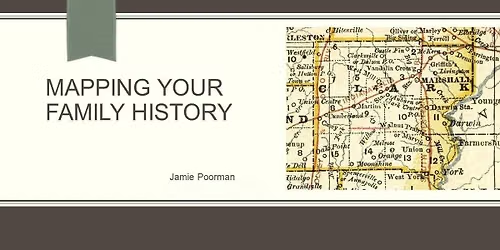
Mapping Your Family History - Jamie Poorman

Advertisement
Maps do more than illustrate where ancestors lived--they explain why records exist where they do and how territorial and county boundaries reshaped without a single pioneer moving. This presentation traces the layered map history of Illinois and Indiana, from the Old Northwest Territory through statehood and rapid county formation, into the practical tools genealogists can use today: federal land patents, the rectangular survey system, historic plat maps, Bird's Eye Views, Sanborn Fire Insurance Maps, and Vintage Aerial photography. Case studies will be given.
Advertisement
Where is it happening?
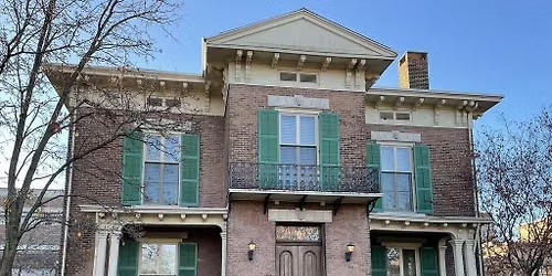
929 Wabash Avenue, Terre Haute, IN, United States, Indiana 47807
Event Location & Nearby Stays:
Know what’s Happening Next — before everyone else does.
Host or PublisherVigo County History Center