Maps of Clinton Park: Session 2

About this Event
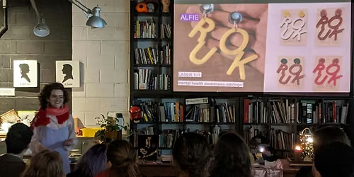
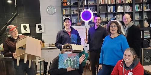
Come explore Clinton Park through a series of workshops designed to encourage participants to reimagine map-making and to experience the park in new ways!
Relying on all our senses, for this session we’ll be working through a series of activities designed to expand our sensory understanding of being at the park.
No experience in art or mapping is needed, and all materials will be provided, as well as snacks.
For accessibility, parking and transit info, please refer to this document.
This project is supported by Neighbourhood Small Grants.
This event is taking place on the unceded, ancestral and shared territories of the Coast Salish peoples, including the homelands of the henqeminem-speaking xʷməθkʷəy̓əm (Musqueam) and səlilwətaɬ (Tsleil-Waututh) First Nations, and the Squamish-nichum-speaking Sḵwx̱wú7mesh (Squamish) First Nation.
We understand that mapping and cartography have been and continue to be used as colonial tools to impose borders, centre colonial worldviews, uphold white supremacy and displace Indigenous Peoples from their lands. In reimagining mapping, we aim to interrupt colonial understandings of mapping as a tool for land theft / imposition of private property, and to reveal the deep disconnection between the lived realities of being on this land and conventional colonial cartography.
Where is it happening?
Event Location & Nearby Stays:
CAD 0.00


![SUNWAVE 2026 [Closing Party] Wave At The Park (Open Air)](https://cdn-ip.allevents.in/s/rs:fill:500:250/g:sm/sh:100/aHR0cHM6Ly9jZG4tYXouYWxsZXZlbnRzLmluL2V2ZW50czUvYmFubmVycy81M2JmZGZiNzk1YzA5MmEwNmJlNTg5OTI4MTNjNWUxODRjNmFmMGU0Y2ZmOWI5NzAyYzk3YzlkNWEwYzUyYjY3LXJpbWctdzEyMDAtaDYwMC1kYzE1MTgxNS1nbWlyLmpwZz92PTE3NzgxMjU3NjM.avif)