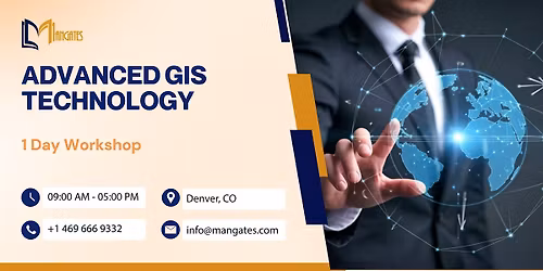
Advanced GIS Techniques - 1 Day Workshop - Denver
Schedule
Wed, 15 Oct, 2025 at 09:00 am to Fri, 13 Feb, 2026 at 05:00 pm
UTC-06:00Location
Regus - Denver - Denver Place | Denver, CO

About this Event
Duration: 1 Full Day (9:00 AM – 5:00 PM)
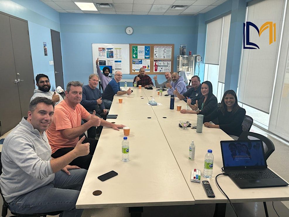
Delivery Mode: Classroom (In-Person)
Language: English
Credits: 8 PDUs / Training Hours
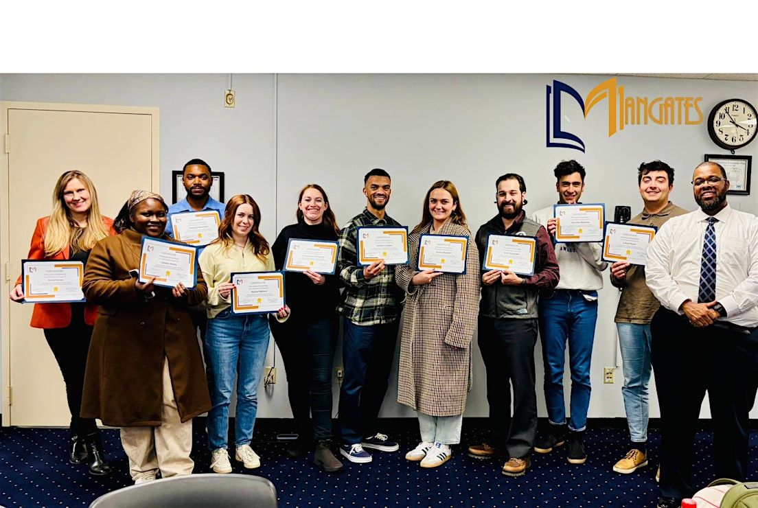
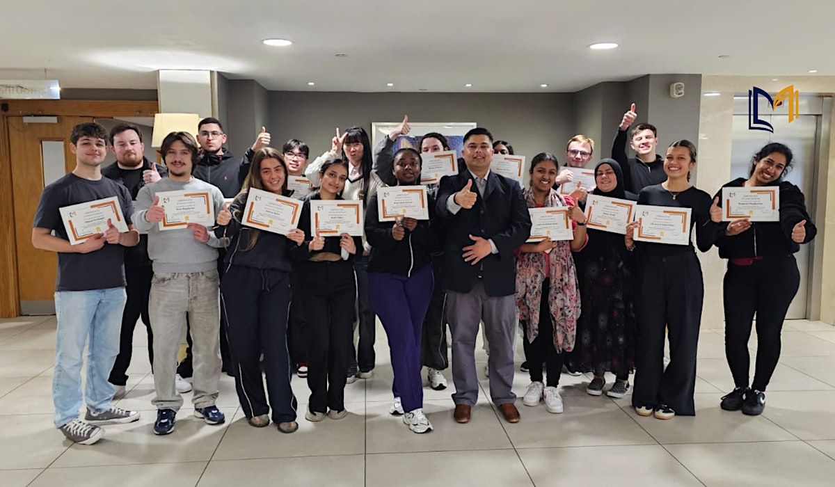
Certification: Course Completion Certificate
Refreshments: Lunch, beverages, and light snacks will be provided during the session
Course Overview
Denver’s industries are increasingly leveraging geospatial data and GIS technologies to optimize operations, improve decision-making, and gain a competitive edge. This 1-day intensive workshop provides practical, hands-on training in spatial analysis, GIS mapping, and geodata visualization, tailored specifically for Denver’s urban planning, environmental, transportation, and energy sectors. Professionals will gain actionable insights that enhance efficiency, reduce risks, and improve strategic planning through geospatial intelligence.
Learning Objectives
By the end of this workshop, you will be able to:
- Understand the fundamentals of GIS and geospatial data applications.
- Perform spatial data analysis and mapping using industry-standard GIS tools.
- Visualize complex geospatial datasets for business and operational insights.
- Apply GIS techniques to industry-specific problems in Denver.
- Utilize geospatial analytics to improve decision-making and efficiency.
Target Audience
- Urban planners, environmental scientists, and transportation managers in Denver
- GIS analysts and data specialists seeking advanced skills
- Energy and utility sector professionals leveraging spatial data
- Business analysts and decision-makers using geospatial insights
- Students and researchers in geography, environmental studies, and data science
Why It’s the Right Fit for You:
Geospatial Data & GIS training is transforming how organizations visualize, analyze, and act upon spatial information. In Denver, industries such as urban planning, transportation, energy, and environmental management rely on GIS to optimize operations, reduce costs, and make informed decisions. This workshop sparks curiosity and equips professionals with actionable skills, enabling them to harness geospatial intelligence for strategic business advantage and operational efficiency.
©2025 Mangates Tech Solutions Pvt Ltd. This content is protected by copyright law. Copy or Reproduction without permission is prohibited.
Bring your team and save
1. Groups of three or more receive a 10% discount
2. Organizations hosting an in-house session with 10+ participants enjoy a 15% discount.
By opting for an in-house session, organizations in Denver can:
- Customize GIS training to specific corporate projects and datasets
- Improve team collaboration and operational alignment through shared geospatial knowledge
- Reduce training costs while boosting workforce efficiency
- Ensure hands-on learning with real-world scenarios relevant to their industry
- Empower employees to implement GIS solutions immediately for measurable impact
📧 Contact us today to schedule a customized in-house session:

Agenda
Module 1: Introduction to Geospatial Data & GIS
Info: • Types of geospatial data: vector, raster, and attribute data
• GIS software overview: QGIS, ArcGIS, and open-source tools
• Data sources: public and private datasets in Denver
• Activity
Module 2: Spatial Data Collection & Management
Info: • Data acquisition methods: GPS, satellite imagery, IoT sensors
• Organizing and managing GIS databases
• Quality control and validation of geospatial data
• Case Study
Module 3: Geospatial Analysis Techniques
Info: • Spatial querying and buffer analysis
• Overlay and network analysis for infrastructure planning
• Hotspot analysis for resource allocation
• Activity
Module 4: Geospatial Data Visualization
Info: • Creating thematic maps and dashboards
• Visual storytelling with GIS
• Interactive map publishing for stakeholders
• Role Play
Module 5: GIS Applications in Industry
Info: • GIS for environmental monitoring and conservation
• Urban planning and infrastructure development
• Energy, utilities, and transportation applications in Denver
• Case Study
Module 6: Advanced GIS Tools & Techniques
Info: • Spatial statistics and predictive modeling
• 3D mapping and visualization
• Integration of GIS with AI and big data analytics
• Activity
Module 7: Implementing GIS in Organizations
Info: • Developing GIS strategies aligned with business goals
• Best practices for GIS project management
• Evaluating ROI from geospatial initiatives
• Role Play
Where is it happening?
Regus - Denver - Denver Place, 999 18th Street Suite 3000, Denver, United StatesEvent Location & Nearby Stays:
USD 515.11 to USD 618.81