LiDAR PRO Online Certification Course
Schedule
Wed Feb 05 2025 at 08:00 am to 04:30 pm
UTC-08:00Location
Online | Online, 0

About this Event
Welcome to the LiDAR PRO Certification Course!
Are you ready to take your LiDAR skills to the next level? The LiDAR PROs have partnered with Sundance Media Group to bring you a best-practices workshop for everything LiDAR.
During the course of our certification course, participants can expect an overview of LiDAR platforms, how LiDAR works (aerial, SLAM, Mobile, static), where LiDAR is best used, and most importantly, what are best-practices for collecting and processing LiDAR data captured.
At the end of the course, participants will be tested on the knowledge they've learned. With a successful pass, participants will receive a certification of completion of the LiDAR PRO course.
Our online certificated workshop is perfect for anyone looking to become a certified LiDAR professional. Our expert instructors will guide you through the ins and outs of LiDAR technology, teaching you everything you need to know to succeed in this fast-growing field. Don't miss this opportunity to boost your career and become a LiDAR pro!
Sign up now and secure your spot in the course.

AGENDA
History of LiDAR Technology
LiDAR Systems
- Solid State
- Mechanical
- Hybrid
- Ranging
- Strength/Weaknesses
Why LiDAR?
Platforms/Systems
- Geocue
- Rock Robotic
- Yellowscan
- Exyn
- viDOC etc
How LiDAR Works
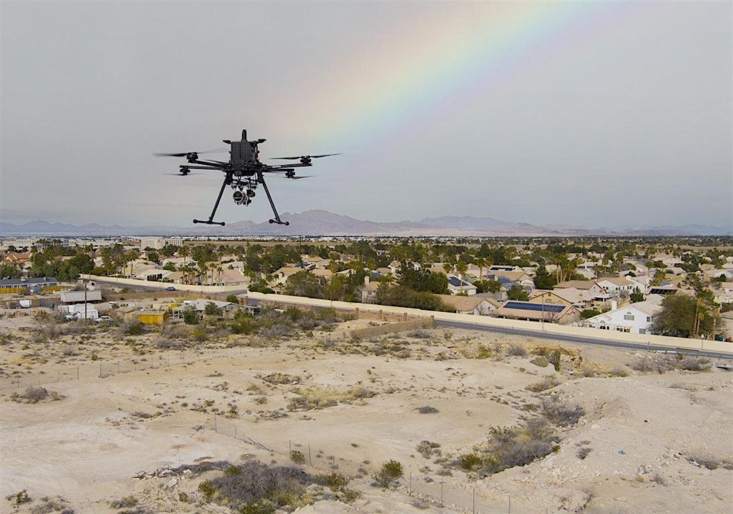
- Aerial
- Hand-held/SLAM
- Mobile
- Static
- Why LiDAR can be superior to photogrammetry in most scenarios
Where LiDAR is best used
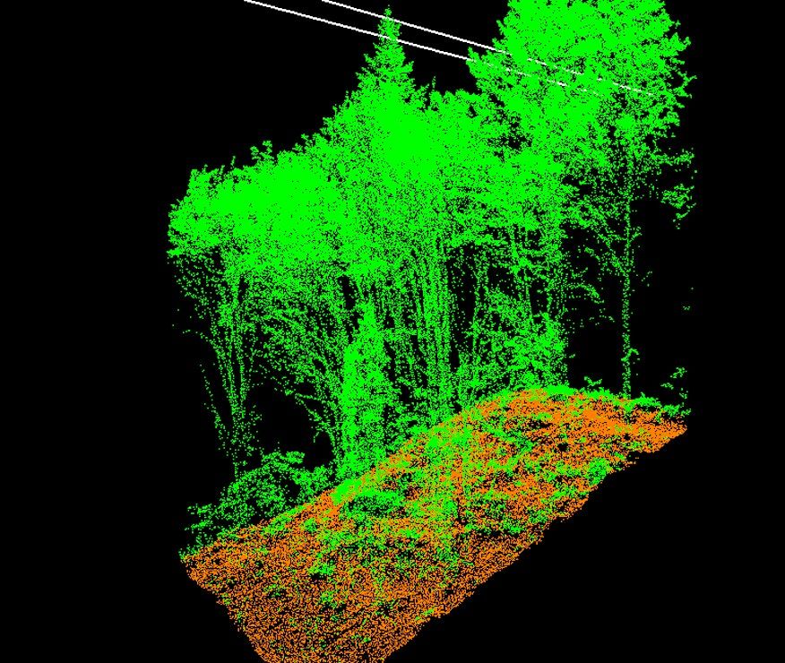
- Use cases (forestry, urban planning, survey, construction, etc)
- We’ll heavily examine several case studies/datasets both clean and unclean
Where LiDAR isn’t optimal
- Water/snow
- Extremely long range applications
- Weather/atmospheric challenges and how to manage them
LUNCH
Best practices
- Rules ie; 90/90
- Talc/dulling shiny surfaces
- Control
- GSD
Software
- Software tool choices
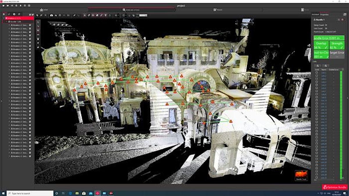
- Tips/techniques for cleaning point clouds
- Tips/Techniques for efficient classification of point clouds
- Registering disparate point clouds/alignment
- Delivery formats
- Online vis
What’s new/next?
- Radar is a long way off for UAS, so what is next?
- Higher resolution photogrammetry for various LiDAR tools
- More intelligent classification tools


Where is it happening?
OnlineUSD 214.19


![FREE Reset Mandatory Site Verifier Training Course [05 Feb 2025]](https://cdn.happeningnext.com/events7/banners/056fdc92aae7c7db9163a6e02ed0045b243d430c092ae0bdc7eb7253b2e51232-rimg-w1200-h600-dce5e7da-gmir.jpg?v=1732652980)


