Grand Marais Embayment (Grand Mere State Park)
Schedule
Sat Jun 06 2026 at 10:00 am to 12:00 pm
UTC-04:00Location
Thornton Dr, Stevensville, MI 49127, United States | Stevensville, MI

Advertisement
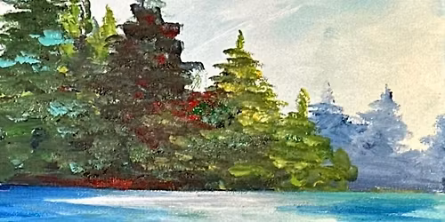
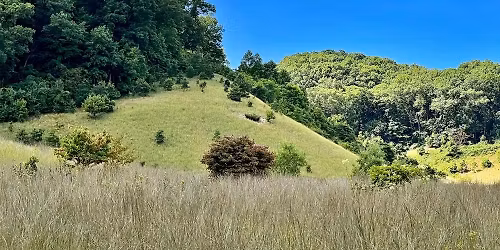
The “Grand Marais Embayment” is a 16-mile-long, ancient marine bay running parallel to the Lake Michigan shoreline in western Berrien County. This coastal feature extends between Lakeside in the south and Stevensville in the north, and is famous for containing some of the largest freshwater dunes in the world and two state parks. Be sure to join the next Harbor Country Hikers adventure led by HCH President Pat Fisher, and learn how 10,000 years of events transformed this bay into globally rare coastal dunes, interdunal lakes, and diverse ecological habitats. We will hike a section of the undeveloped sanctuary originally named “Grand Marais” (French for big swamp) but now known as Grand Mere State Park.Grand Mere is nearly 1,000 acres of beautiful undeveloped wetlands, woods, sand dunes and beach. Protected from Lake Michigan by the dunes to the west, the park has many natural features not found throughout the rest of the state. In 1968 it was designated a National Natural Landmark. Recreation Passport is required.
Wear long pants (preferably tucked-in), a sun hat, sturdy shoes or boots, preferred pest controls, and bring plenty of water. Light precipitation and hot or cold weather don’t ordinarily lead us to call off hikes, but health-threatening temperature extremes and lightning can be causes for cancellation. In case of inclement weather on the day of the hike, check our website, harborcountryhikers.org, or our Facebook page for notice of cancellation or rescheduling.
HCH has an All-Terrain Rollator which may be reserved for use on our hikes. Reservations are made on a first-come first-served basis by filling out the brief form at https://harborcountryhikers.org/rollator.
Theme: Grand Marais Embayment
Venue: Grand Mere State Park
When: Saturday, June 6, 2026 @ 10:00 ET
Estimated Presentation Time: 10-15 minutes
Hike Leader: Pat Fisher, President HCH
Estimated Time: 2.0 hours
Hiking Distance: 1.5 miles
Physical Difficulty: Moderate, loose sand, some climbs
Thornton Dr, Stevensville, MI, 49127
Parking GPS: 42.003725, -86.542561 (DD)
Directions: From Red Arrow Highway, head west on John Beers Road. After passing the I-94 westbound exit, turn south (left) onto Thornton Drive. The entrance road will be on your right (about ½ mile). We will be gathering near the trailhead.
Special Note: Visit our new website at harborcountryhikers.org to learn about upcoming hikes, blogs, join our email list, and use our online membership or donation forms. Also, change your contacts to reflect our new email address: [email protected].
Advertisement
Where is it happening?
Thornton Dr, Stevensville, MI 49127, United StatesEvent Location & Nearby Stays:
Know what’s Happening Next — before everyone else does.